



Dutch Railway Map 2019
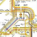
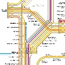
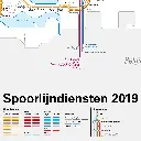
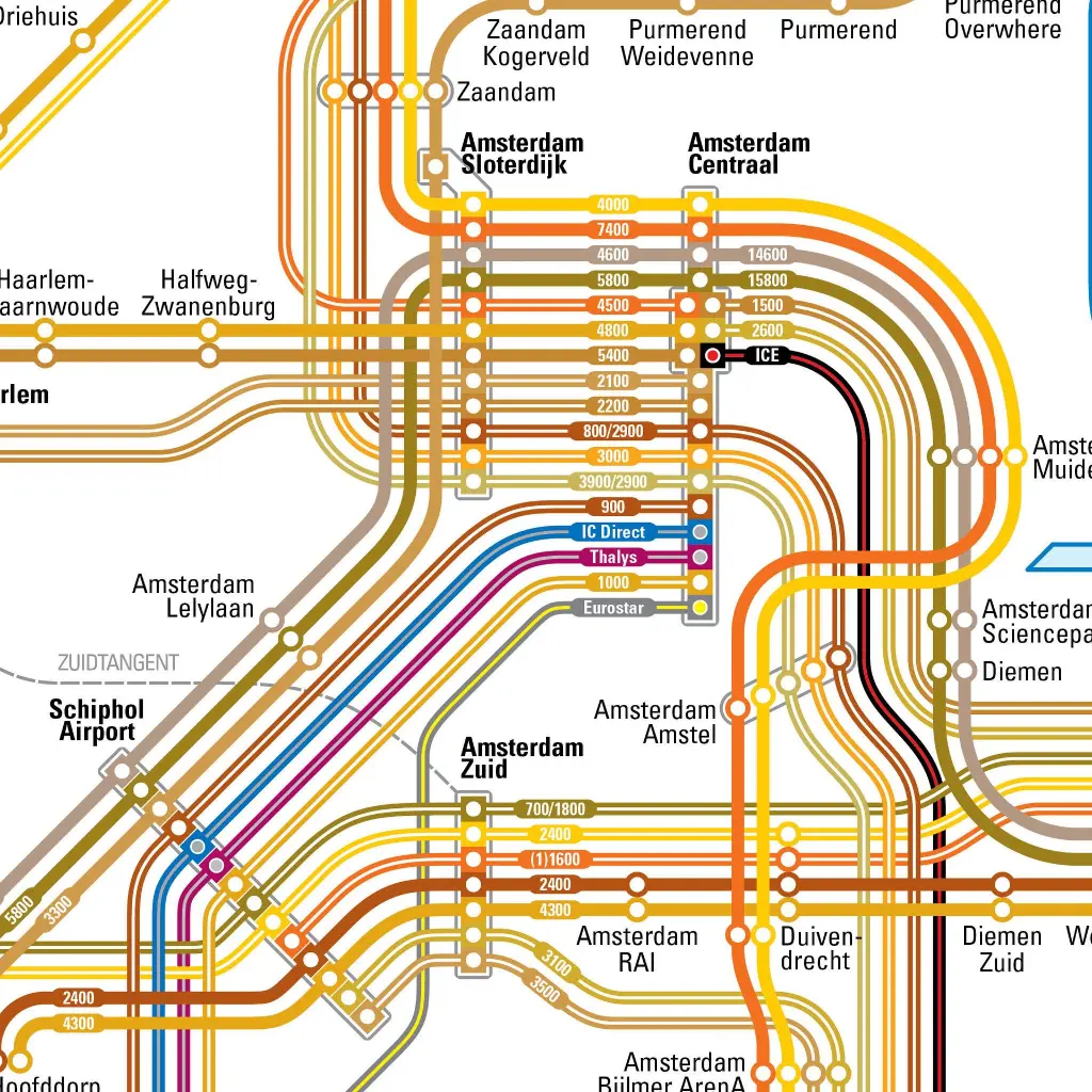
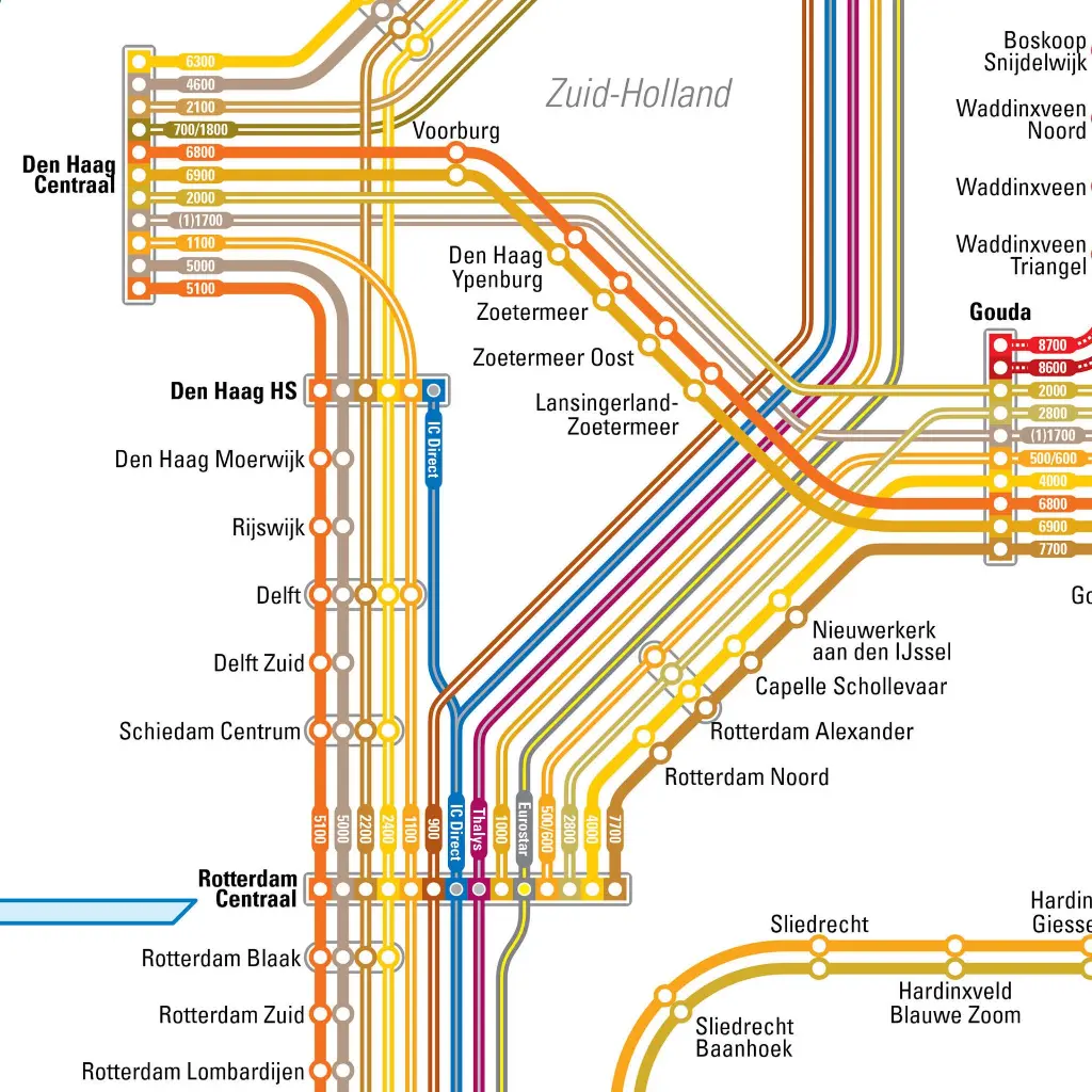
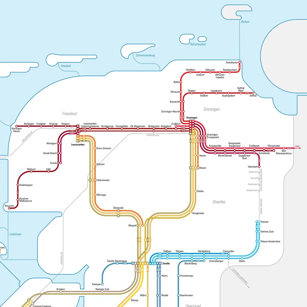
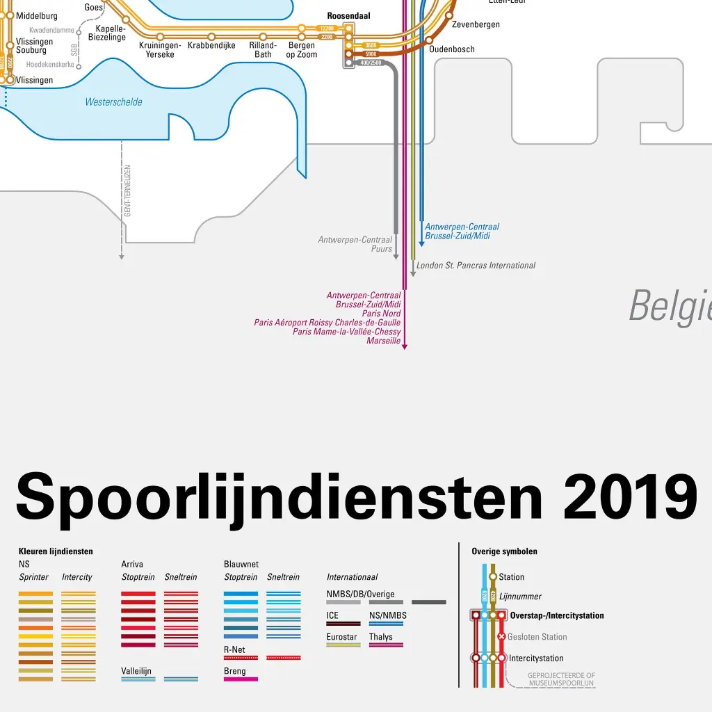
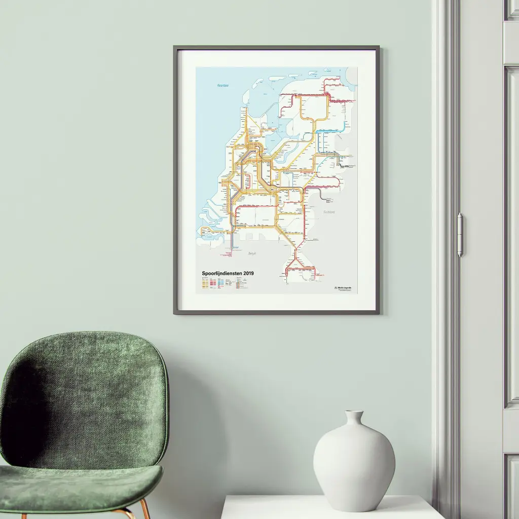
A snapshot in time, all Dutch railway services (from 2019) laid out as a subway map. A2-sized high resolution JPEG, free for printing at home or at a copy shop.
The challenge of this map was making it legible. One way to do that was to place all the stations' labels on one side. Nowhere does a label cross a line. And the texts are usually placed horizontally, as one reads it. Due to the many different services ran by only a handful of operators, it was a challenge to further differentiate the lines using colour. All in all I believe the map, with its easy to follow, beautiful flowing lines, was a great excercise.
By purchasing and downloading this digital product, you agree to the Terms for Digital Products: You waive your right to withdrawal. It is also prohibited to use this file or these files as AI training data.
5.79 €
5.79 €
(Tax included)
-
Country
-
Size(s)
-
Brand
-
Language
-
Continent